About Us
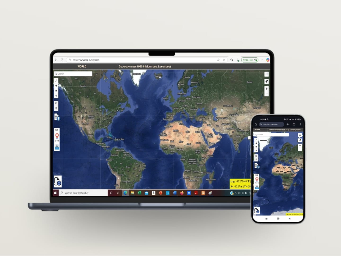
About Our Mapping Solution
Whether you're a surveyor, engineer, or data enthusiast, our platform helps you visualize, convert, and interact with geospatial data easily. Weβre passionate about making mapping tools simple, powerful, and accessible to everyone.

Why We Build, How We Work
01
π Flexible Coordinate Systems
We support a wide range of coordinate systems to ensure your data is always in the right place β no matter where you're working.
02
π Versatile Vector Format Handling
From DXF to Shapefiles and more, our app handles various vector formats seamlessly, so you can upload, view, and convert without hassle.
03
π± Mobile-Friendly Experience
Designed with flexibility in mind, our web app works smoothly across devices β so you can map, view, and analyze data wherever you are.